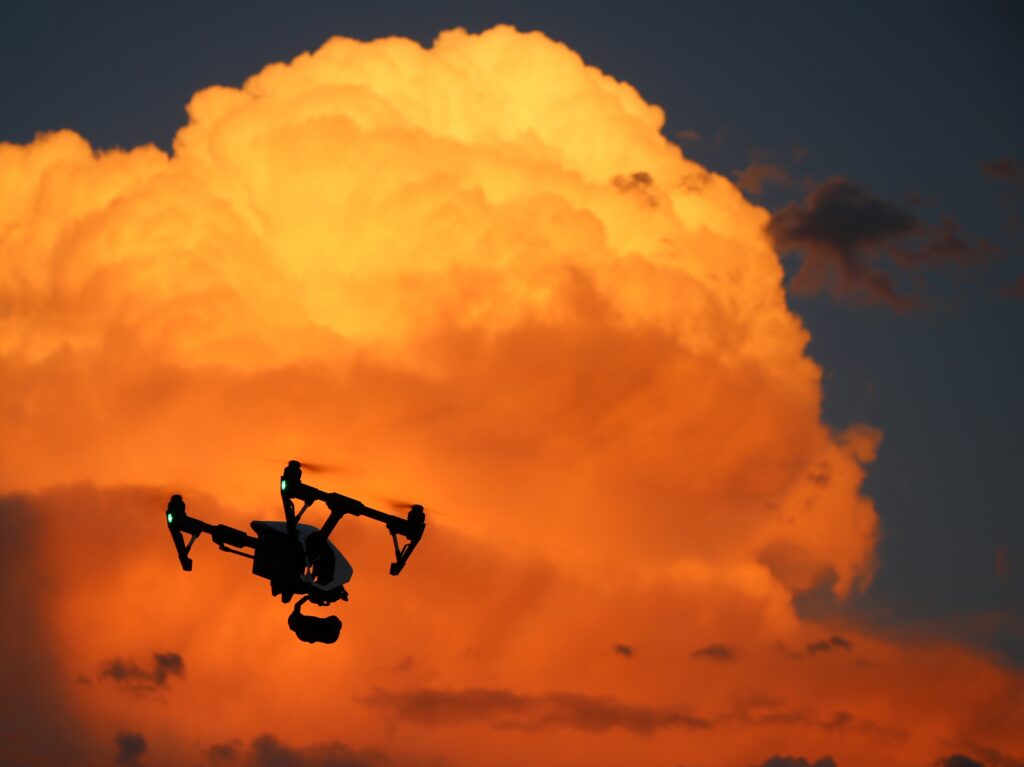
We developed SkedFlex Vertical so drone pilots can have access to reliable information to facilitate safe operations of their drones. We have partnered with TruWeather Solutions (“TWS”) to be able to provide current and forecast data specifically designed for drone operations. METAR and TAF data are valid for the airport itself. Other “standard” data that is available are the winds aloft forecasts that start at 3000 feet. Drone pilots want to know what is happening from the surface to 400 feet where they operate. TWS provides that information and SkedFlex Vertical presents that to the drone pilot so that they can decide if they can safely operate the mission. Based on Latitude and Longitude, we provide a micro forecast for the specific area where the operation is planned.
Product Information
SkedFlex Vertical, developed by eTT Aviation, enables drone operations to comply with regulations and integrate into airspace. Partnered with TruWeather Solutions, it provides reliable weather data for safe drone missions.
Vertical Intelligence
As the unmanned aircraft industry rapidly evolves, drone operations will need solutions that keep up with regulations and compliance standards. SkedFlex Vertical was developed by aviation veterans at eTT Aviation to integrate into a robust Air Operations Suite, allowing UAS/Drone operations to run their drone fleets like an airline.
Compliance Through LAANC
Unmanned Aerial Systems (UAS) have been experiencing exponential growth for several years. The FAA recognized that UAS, or drones, were going to have to be accommodated into the National Airspace System and could not be managed in the same way that manned aircraft are. LAANC is a collaboration between the FAA and Industry that allows this integration of the UAS into the airspace.
